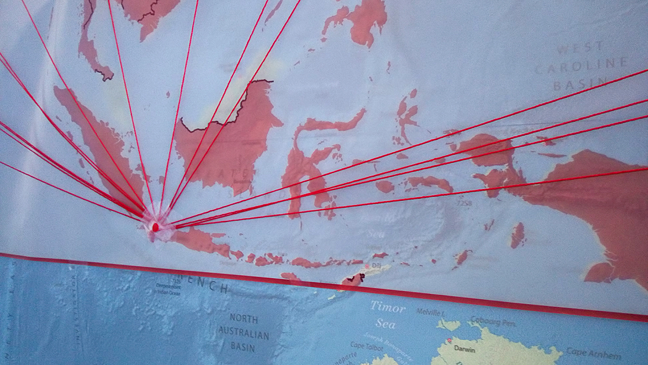
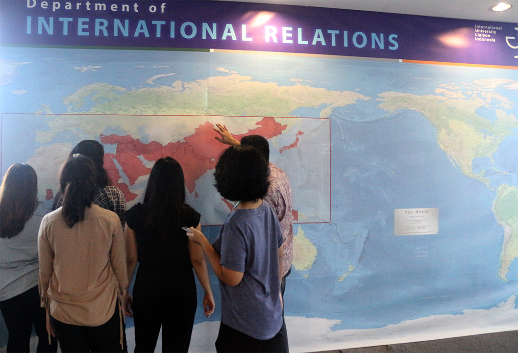
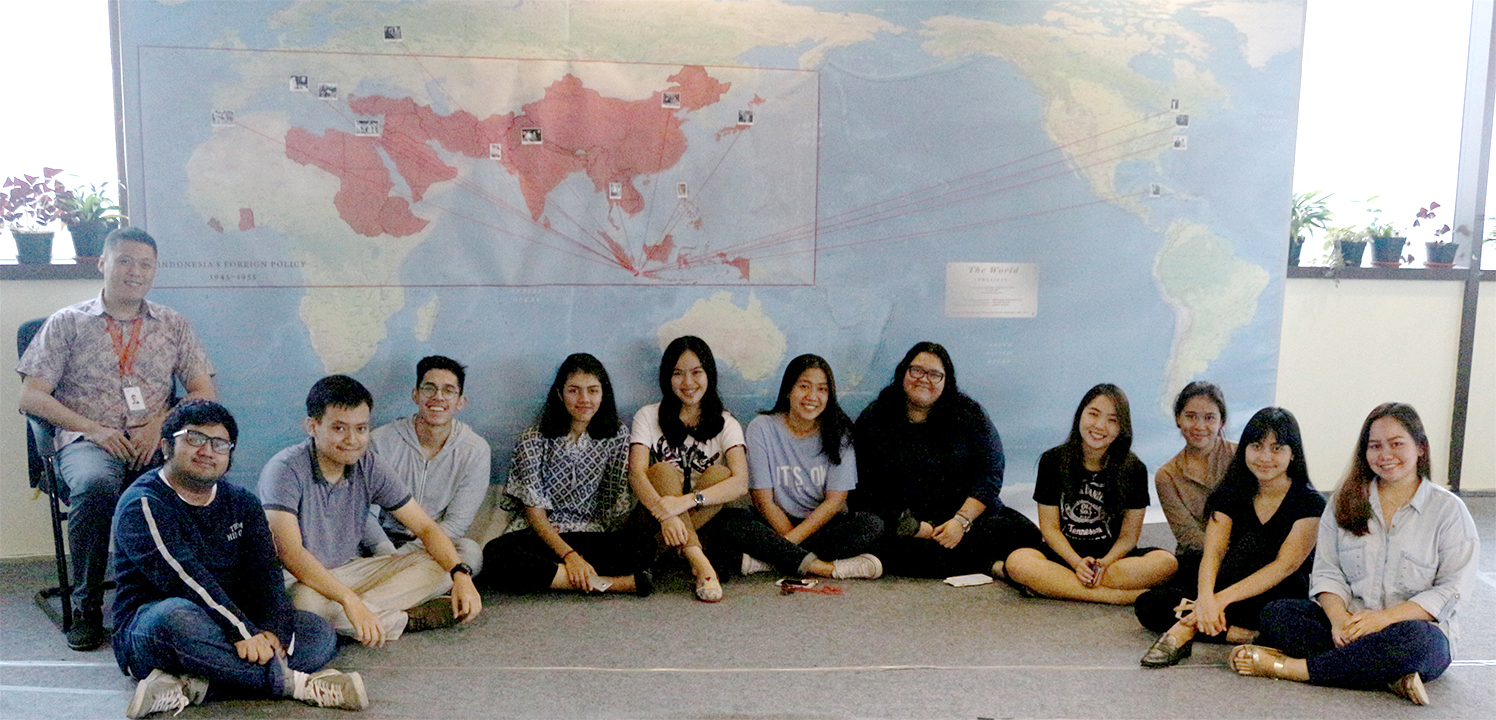
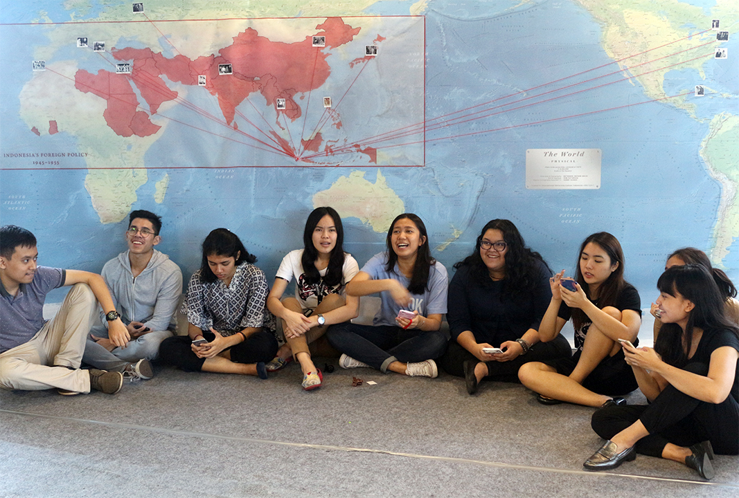
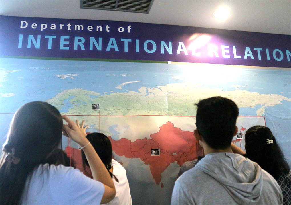
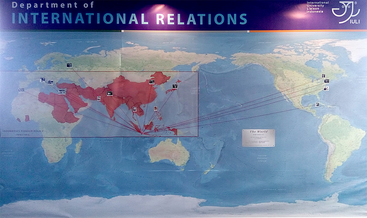
3 October 2017 – IULI International Relations Department made official the use of a large wall map in the campus hall for lecturing purposes. The “Indonesian Foreign Policy and Diplomacy” course employed the map to visualize the breadth of Indonesian diplomatic activities during the Republic’s infancy in 1945–55.
The map—which measures 3×4.8 m—is one of the largest ever installed in an Indonesian campus. Typically maps of such size are used to display small scale cartographic information (mostly topographic). The IULI’s map is unique in the sense that it:
- displays the world in its entirety: from Antarctic to the Arctic, from Fiji Islands in Southwest Pacific to the Canadian Maritimes in Northeast Atlantic,
- was specifically designed with an educational purpose in mind: a physical imagery of the earth’s surface to allow layers of various information to be superimposed over it.
The map, produced by the INR Dept., was unveiled on 20 May 2017 but its use for academic purposes was inaugurated today. The map is part of a long term plan to build a modern and sophisticated laboratory for international studies at IULI. (SaK/MiE)
| SPECIFICATION | |
| SCALE | 1:8,340,000 (equator) |
| PROJECTION | Plate carée |
| CENTER | 150° E |
| NUMBER OF NAMED LOCATIONS | 3,234 |
| DESIGNER, GIS, CARTOGRAPHY | S. Kanadi, T. Patterson, N. V. Kelso |
| PRODUCER | Dept. of International Relations, IULI |
| DIMENSION | 240×480 cm (cartographic); 300×480 cm (whole) |
| MATERIAL | Non-reflective vinyl; 500 gsm; 1000×1000D |
| INSTALLATION METHOD | Fixed location |
| YEAR OF PRODUCTION | 2017 |